|
中国城中村制图产品 (Nationwide Urban village mapping in China) 【数据下载 download】
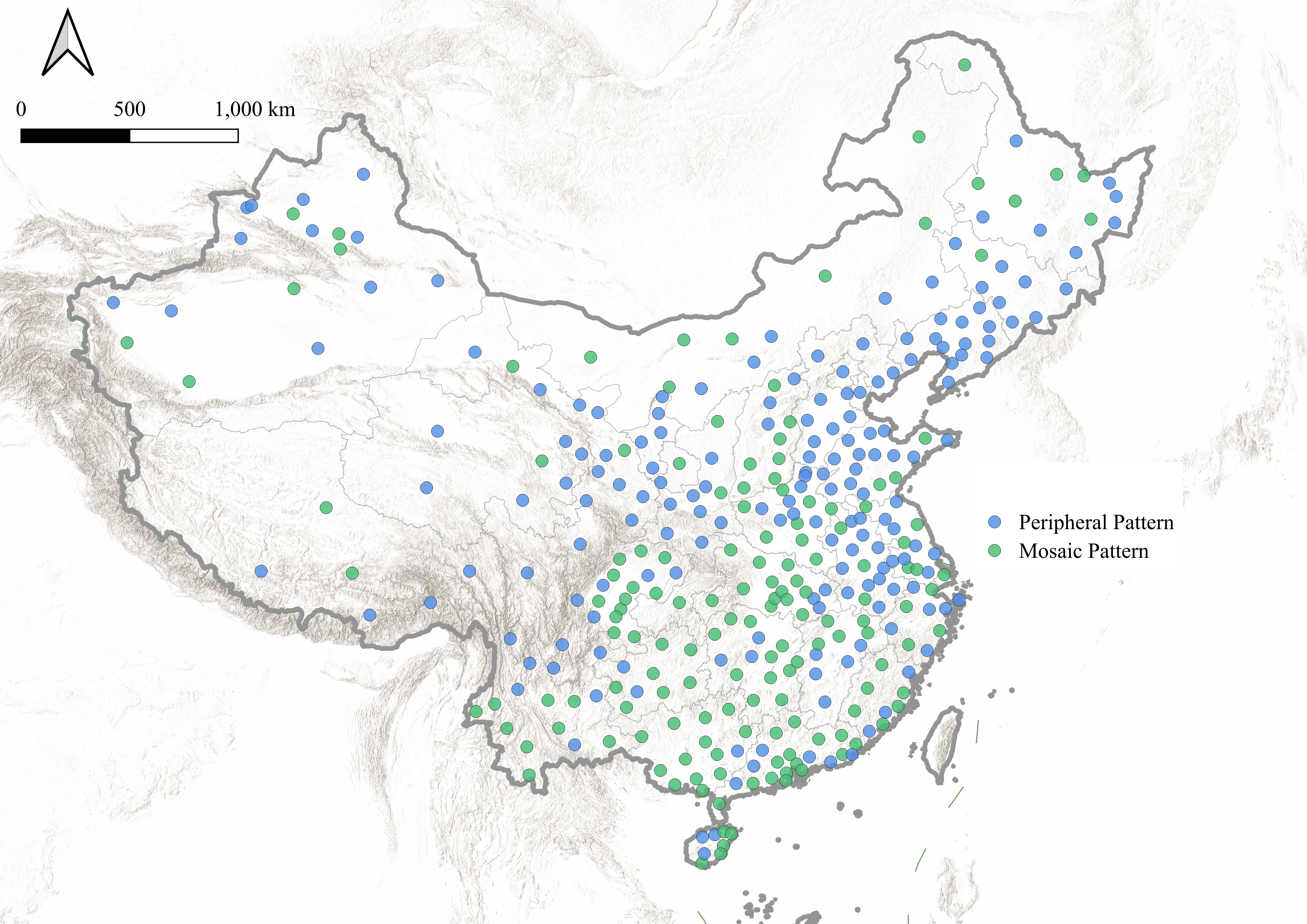
数据简介:本数据集为基于GeoLink多模态基础模型和Segment Anything模型绘制的全国2023年城中村制图产品,覆盖337个城市的主要城区,空间分辨率为1米,揭示了总面积约18万平方公里的建成区内的城中村分布情况。产品采用WGS84坐标系(EPSG:3857),格式为GeoPackage,每个城中村为一个Polygon,建成区范围划定参考GAIA。经过在28个城市标注样本验证,总体精度在75%以上,mIoU在60%以上。该产品能够为城市更新规划决策提供支持。如需使用数据请引用以下参考文献:
Introduction:This dataset is a nationwide 2023 urban village mapping product generated based on the GeoLink multimodal foundation model and the Segment Anything Model (SAM). It covers the main urban areas of 337 cities across China with a spatial resolution of 1 meter, revealing the distribution of urban villages within approximately 180,000 square kilometers of built-up areas. The product adopts the WGS84 coordinate system (EPSG:3857) and is provided in GeoPackage format, where each urban village is represented as a polygon. The delineation of built-up areas follows the GAIA reference dataset. Validation using labeled samples from 28 cities indicates an overall accuracy exceeding 75% and a mean Intersection over Union (mIoU) above 60%. This product provides valuable support for urban renewal planning and decision-making. Please cite:
|